
Wszystko na Mapie
English title: Everything on the Map
Publisher: Wydawnictwo Dwie Siostry
Warsaw 2018
Box dimensions: 30 × 26 cm
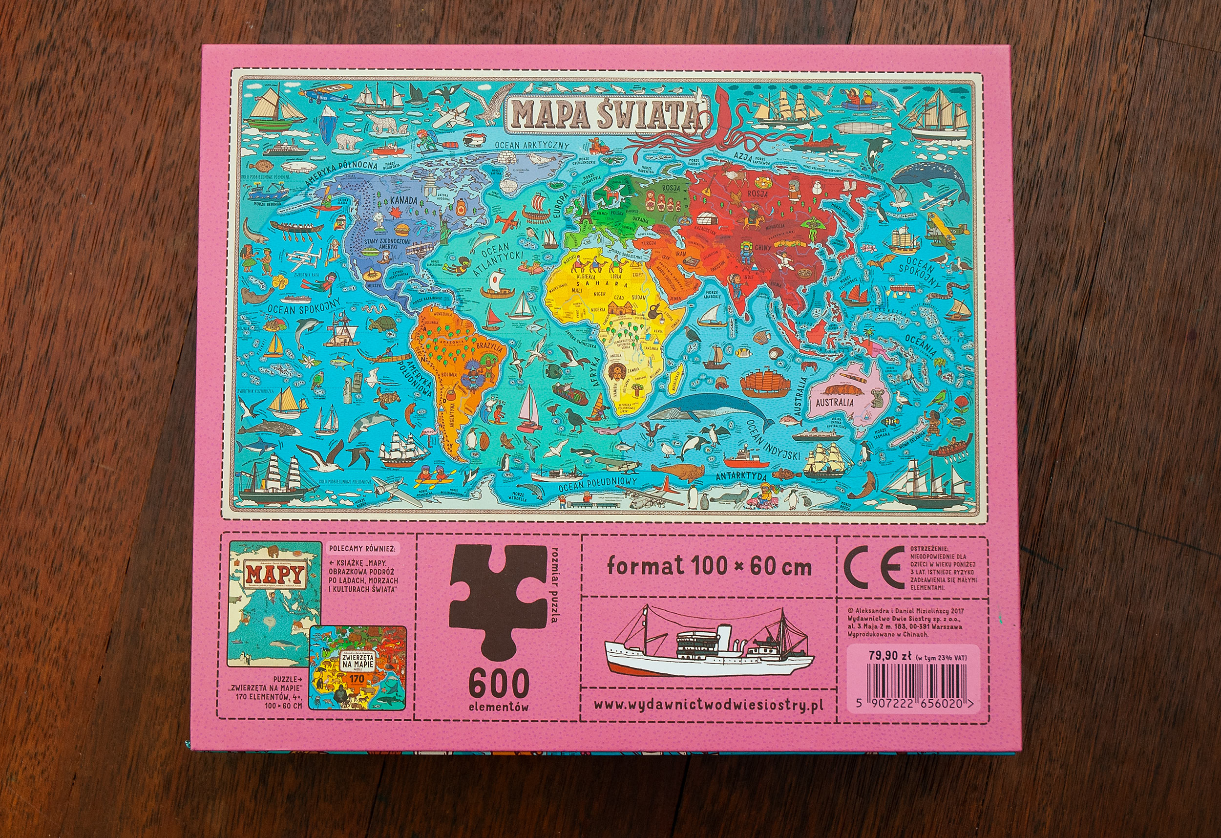
Dimensions when completed: 100 × 60 cm
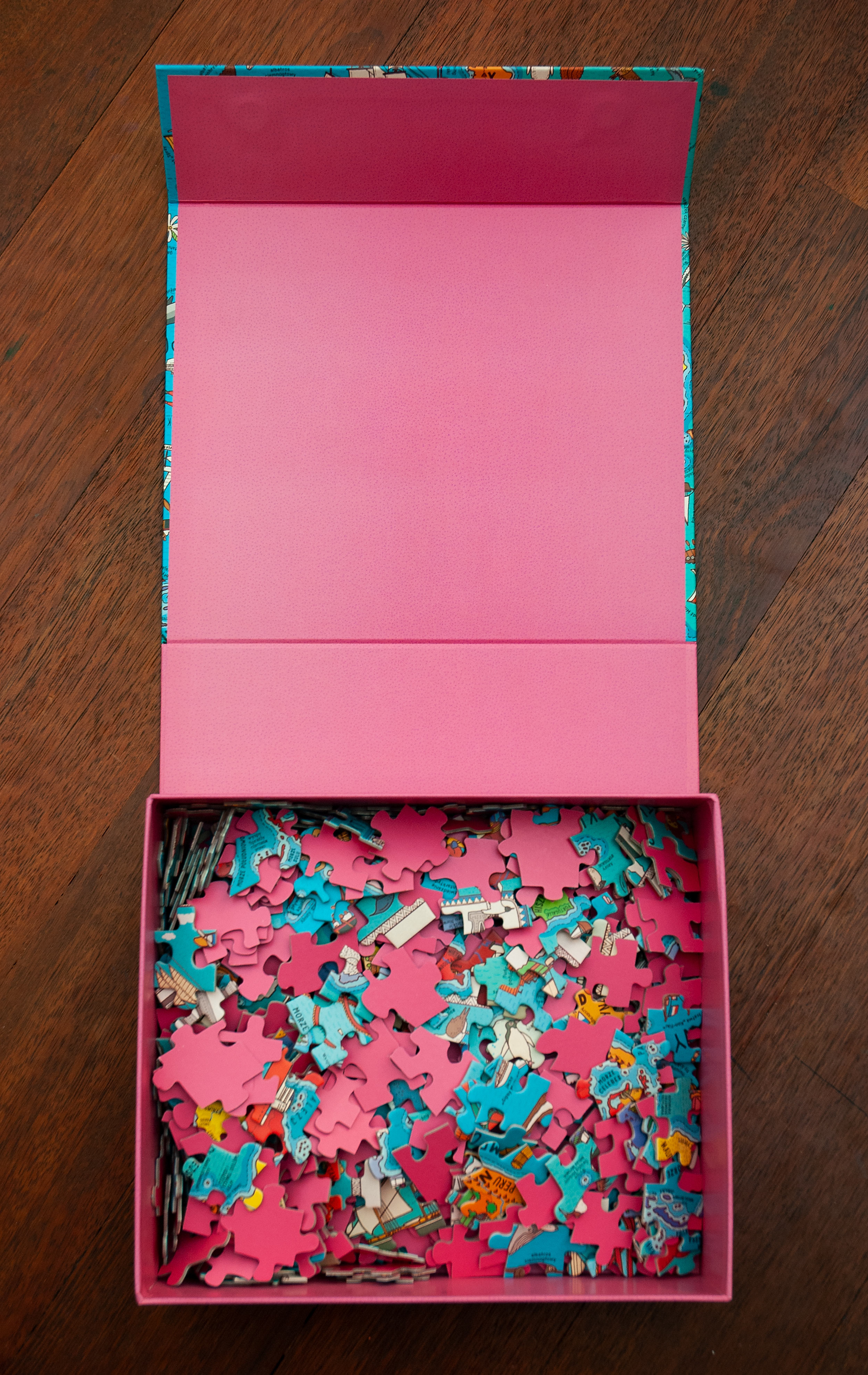
Jigsaw puzzle 600 pieces
ISBN/EAN: 5907222656020
This jigsaw puzzle is a part of “Maps Series”.

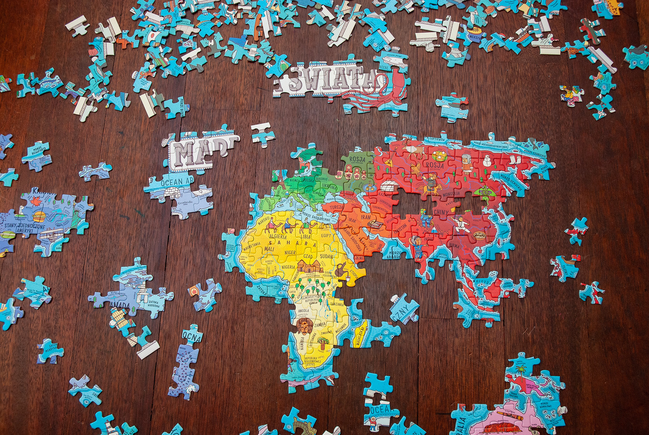
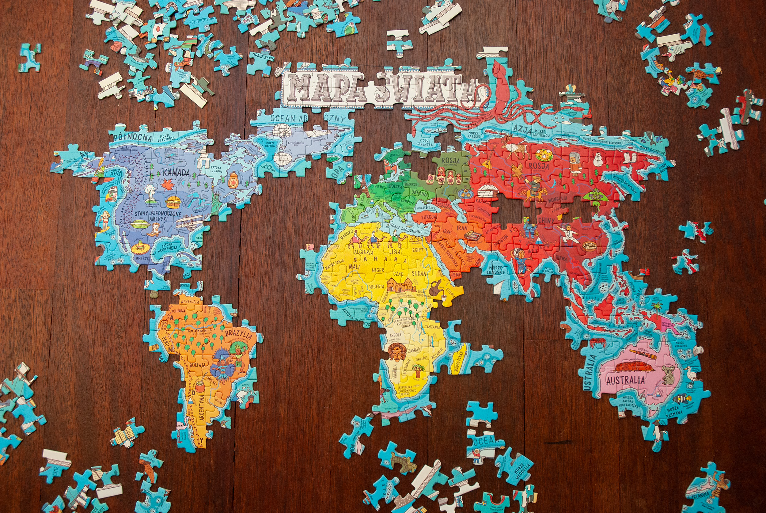
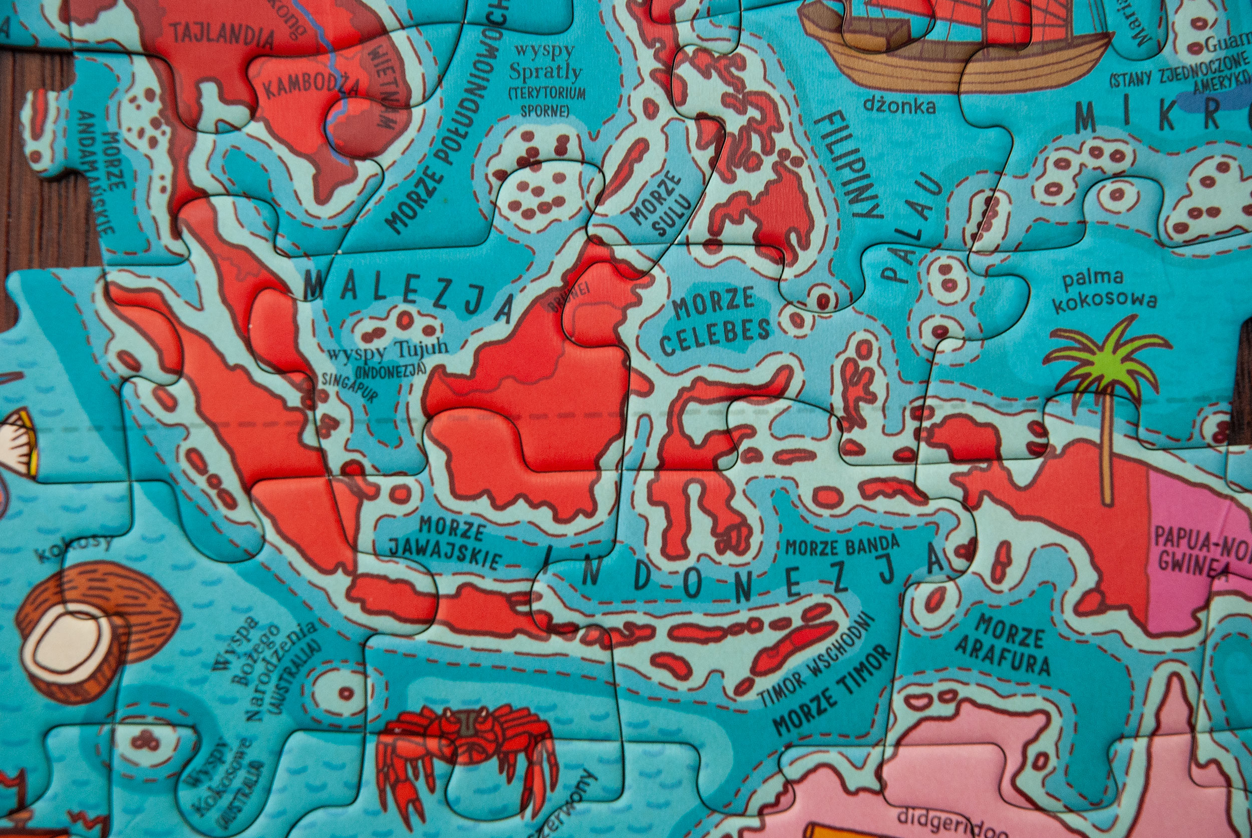
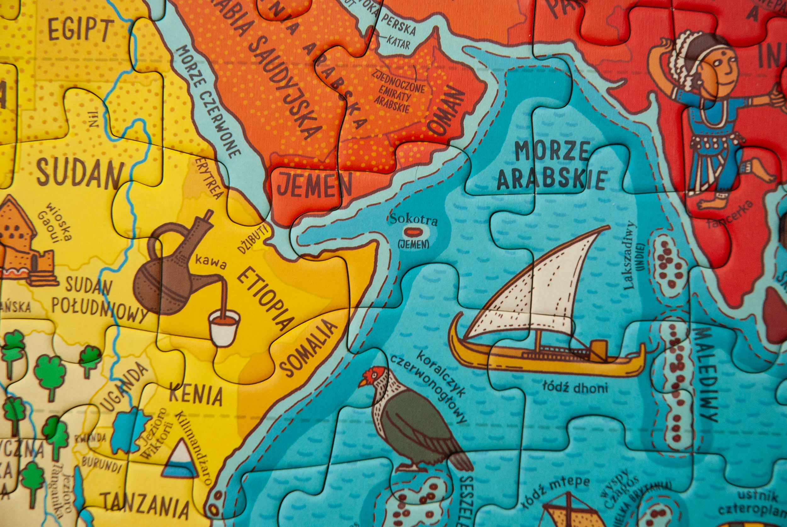
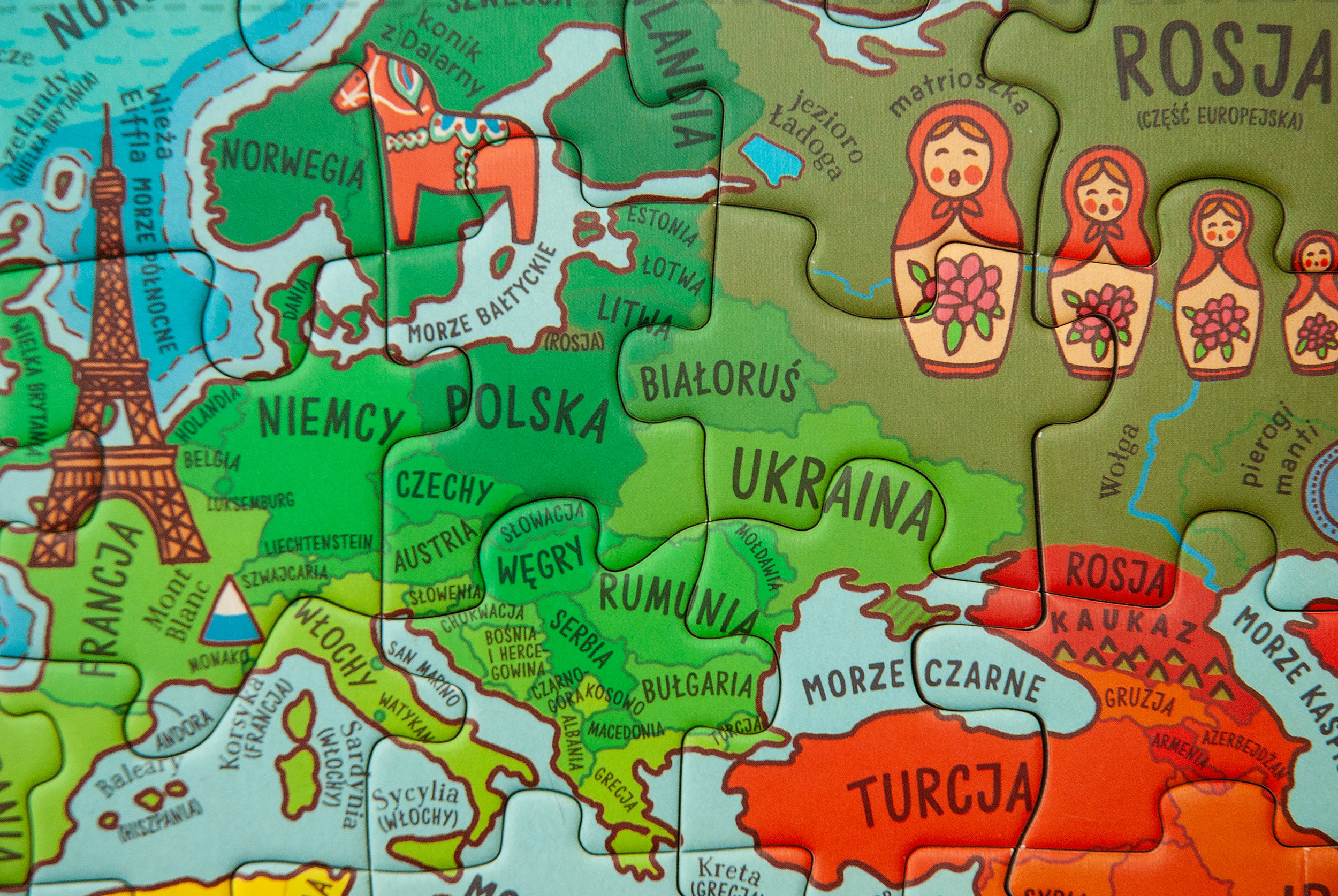
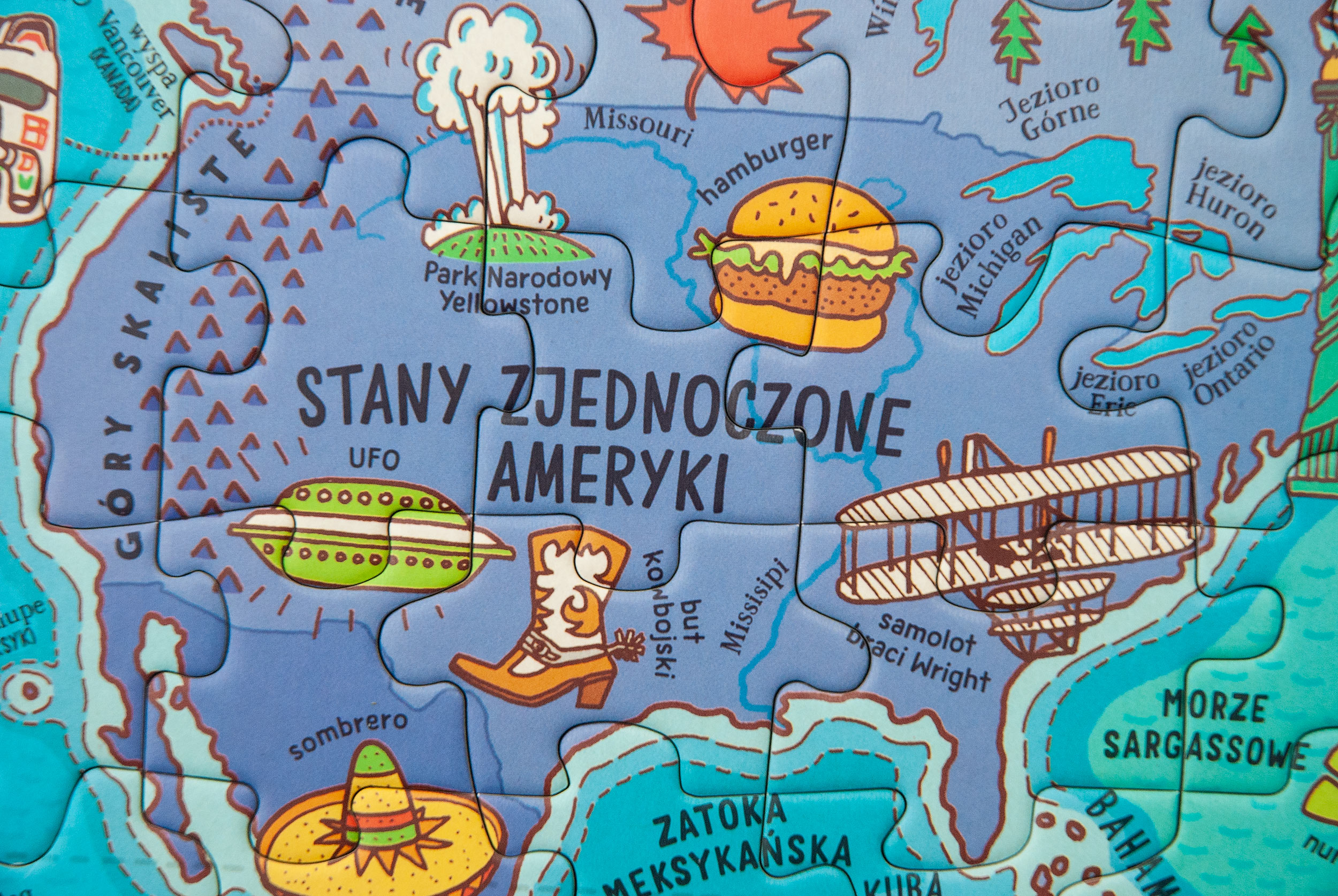
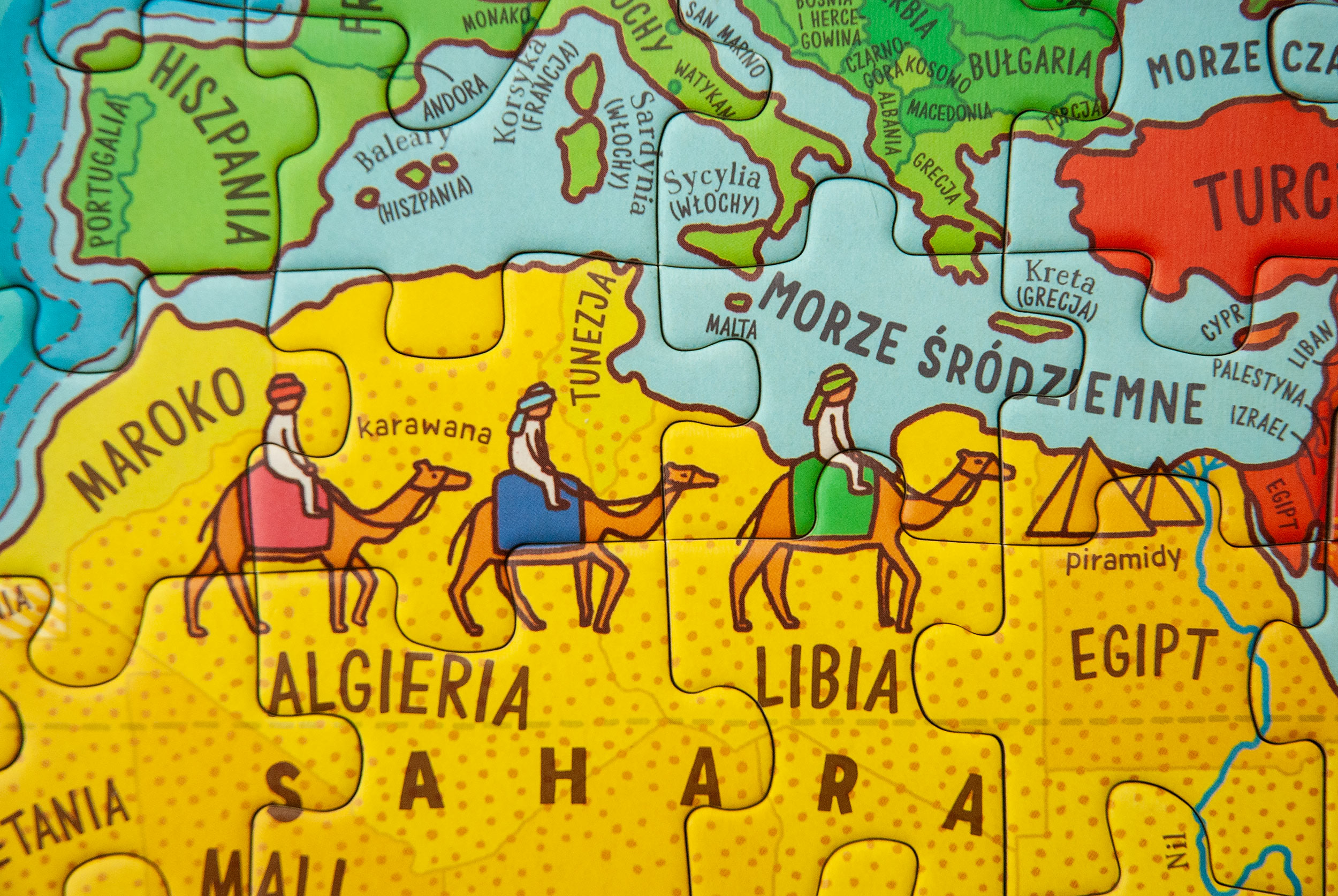
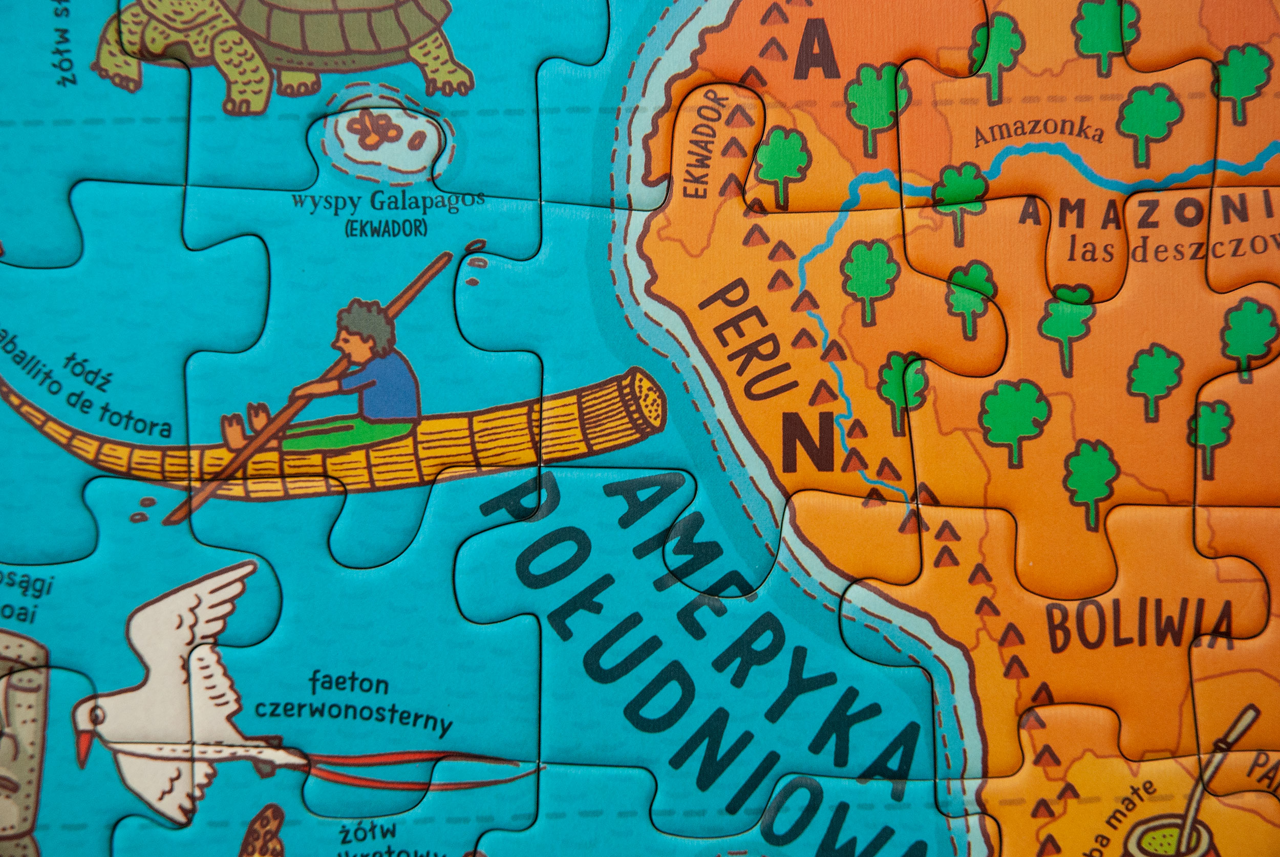
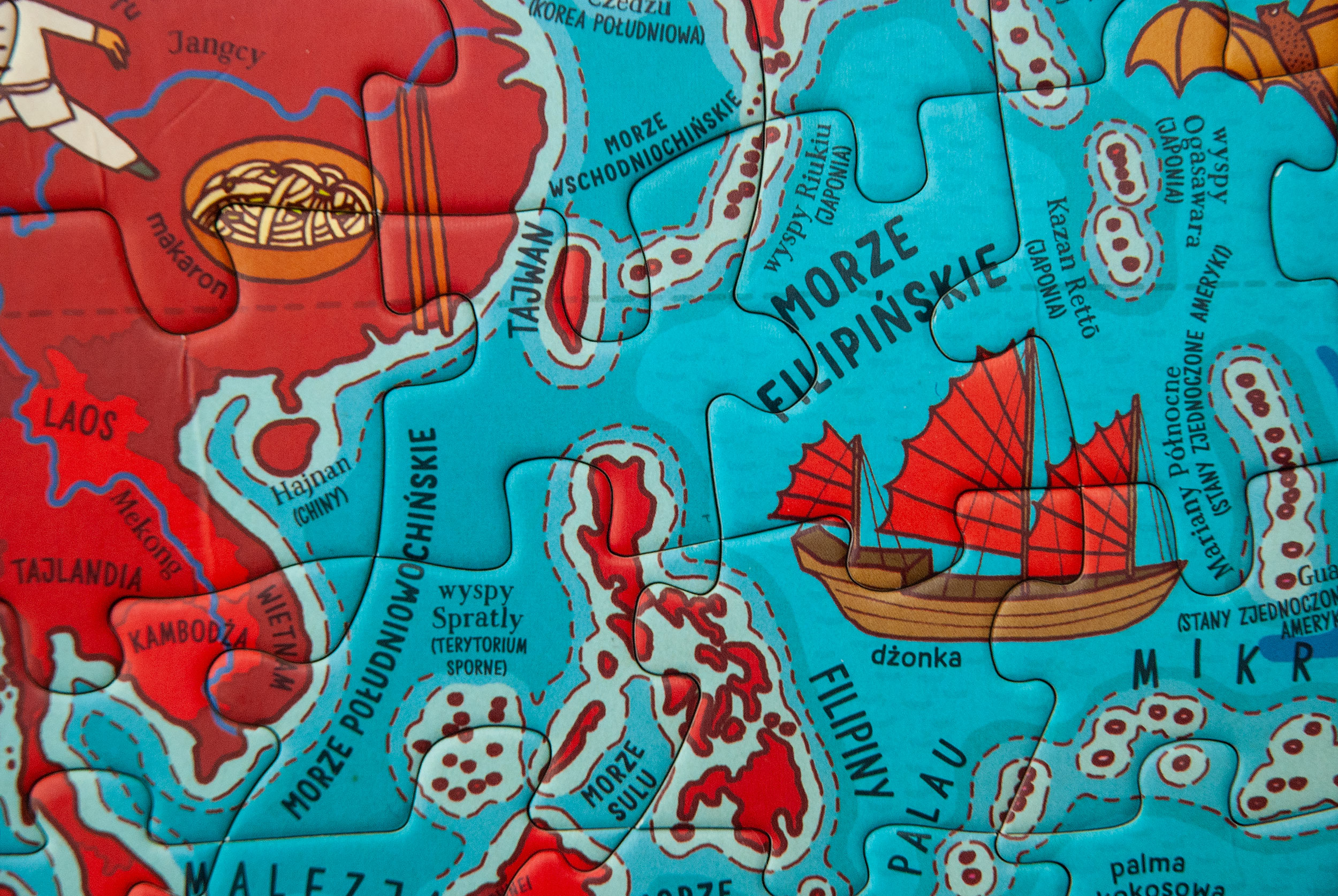
This jigsaw puzzle was inspired by our book “Mapy”. It presents animals, vehicles (including the traditional boats of different cultures and the famous explorers’ planes), monuments, dishes, as well as objects and activities typical for various regions. All countries, continents, oceans and most important seas and islands are captioned.
Together with “Animals on the Map”, this is our first set of jigsaw puzzles. The idea came from an unfulfilled need of our publishers to have gadgets to the “Mapy” book. We didn’t want to license our work to third party producers, so we decided to design our own product.
As usually, we started with the research. We bought about 20 jigsaw puzzles from different producers. We wanted to see and feel different materials and executions. Our goal was to make it easy for children to solve the puzzle. The most enjoyable for us were puzzles designed by illustrators who had in mind while designing that the picture was going to be cut into pieces, rather than puzzles that were a ready-made drawing or a movie poster before.
The other important observation was that you could easily find at least three types of cutting grids:
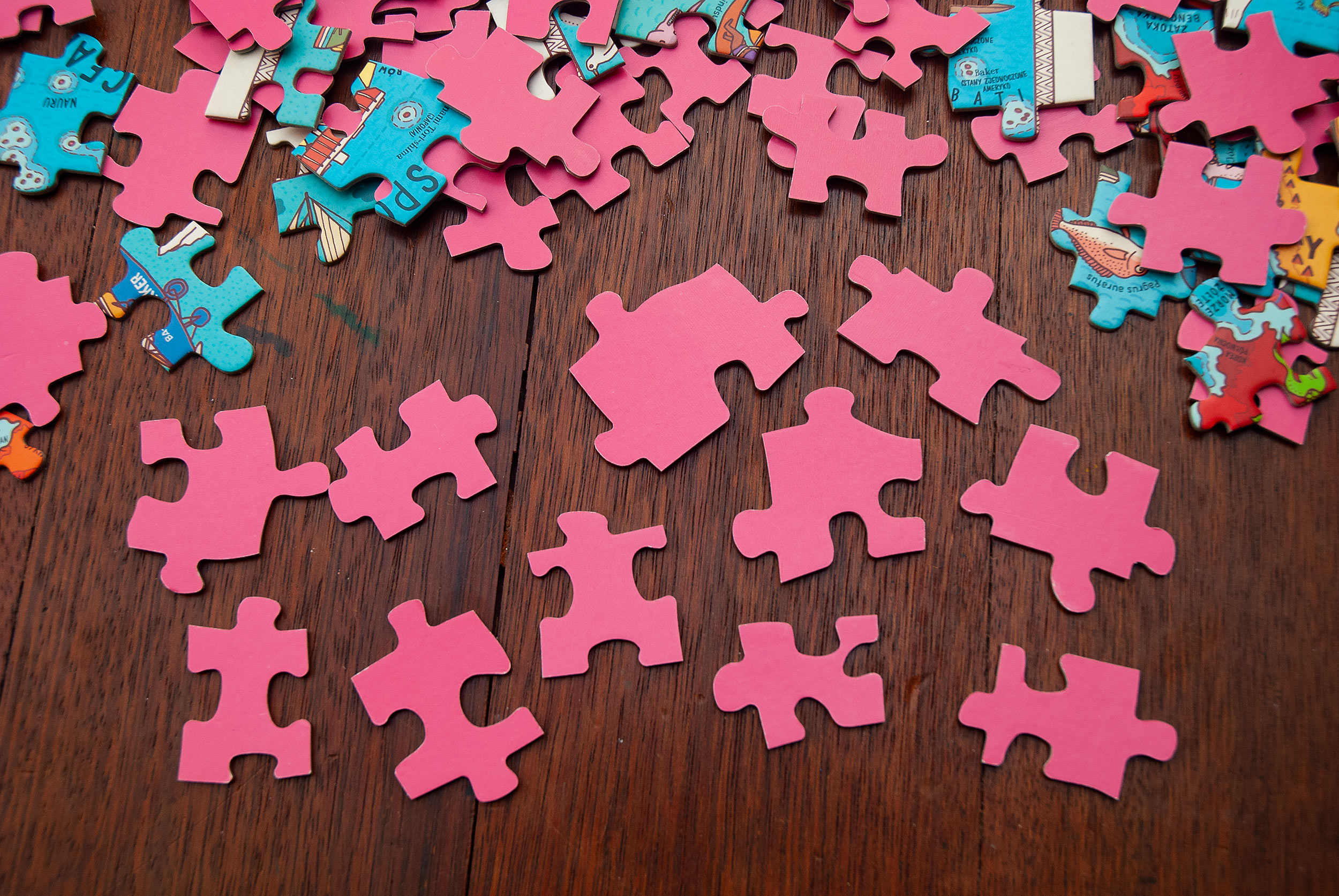
All of the pieces have same size and shape and it’s easy to connect non-matching pieces. This kind of grid is often reused for multiple puzzles.
Pieces have different uneven shapes and sizes. You usually can’t connect wrong pieces together, it’s easier to solve the puzzle for an average and colour-blind person, but the grid is reused multiple times so it doesn’t cooperate with the image. The cuts are random and not designed.
Each image has a cutting grid designed specifically to fit this single puzzle. This is the most elegant and satisfying solution.
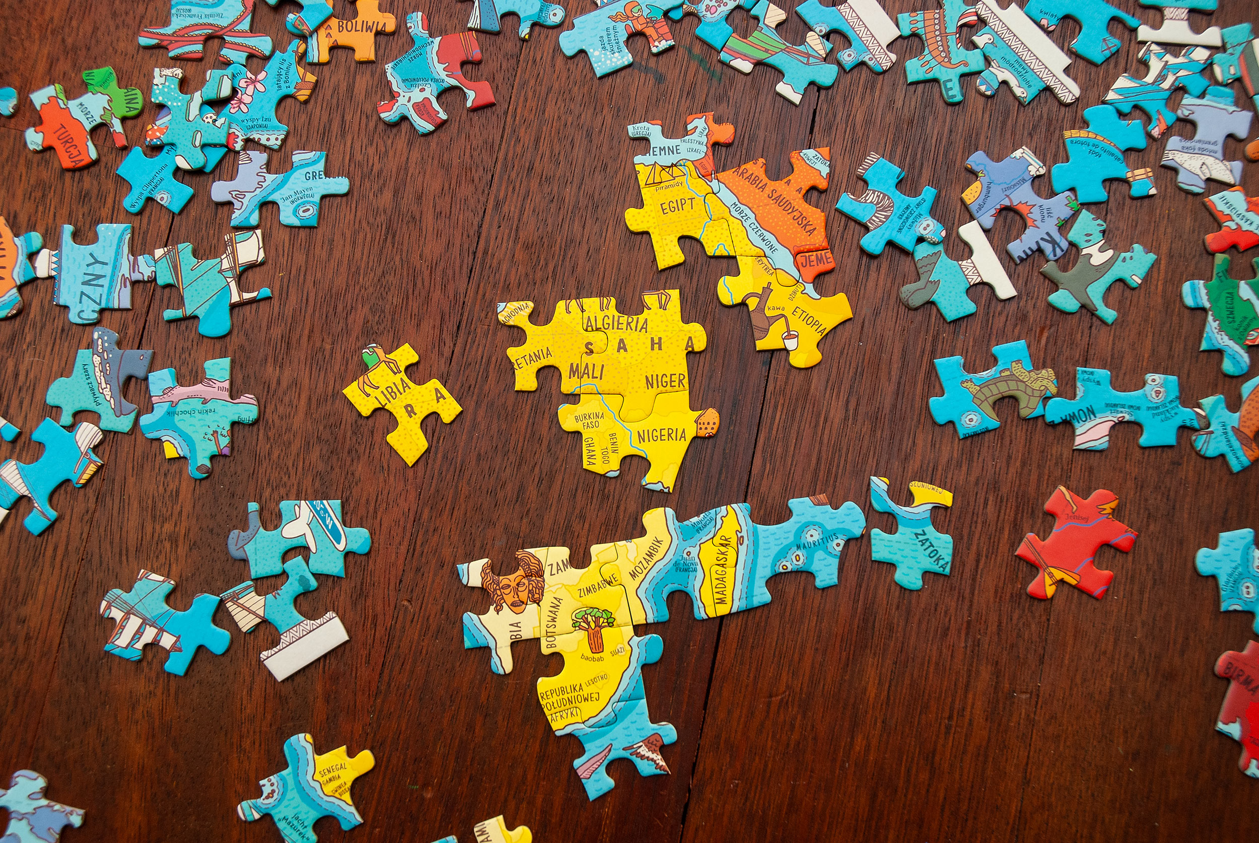
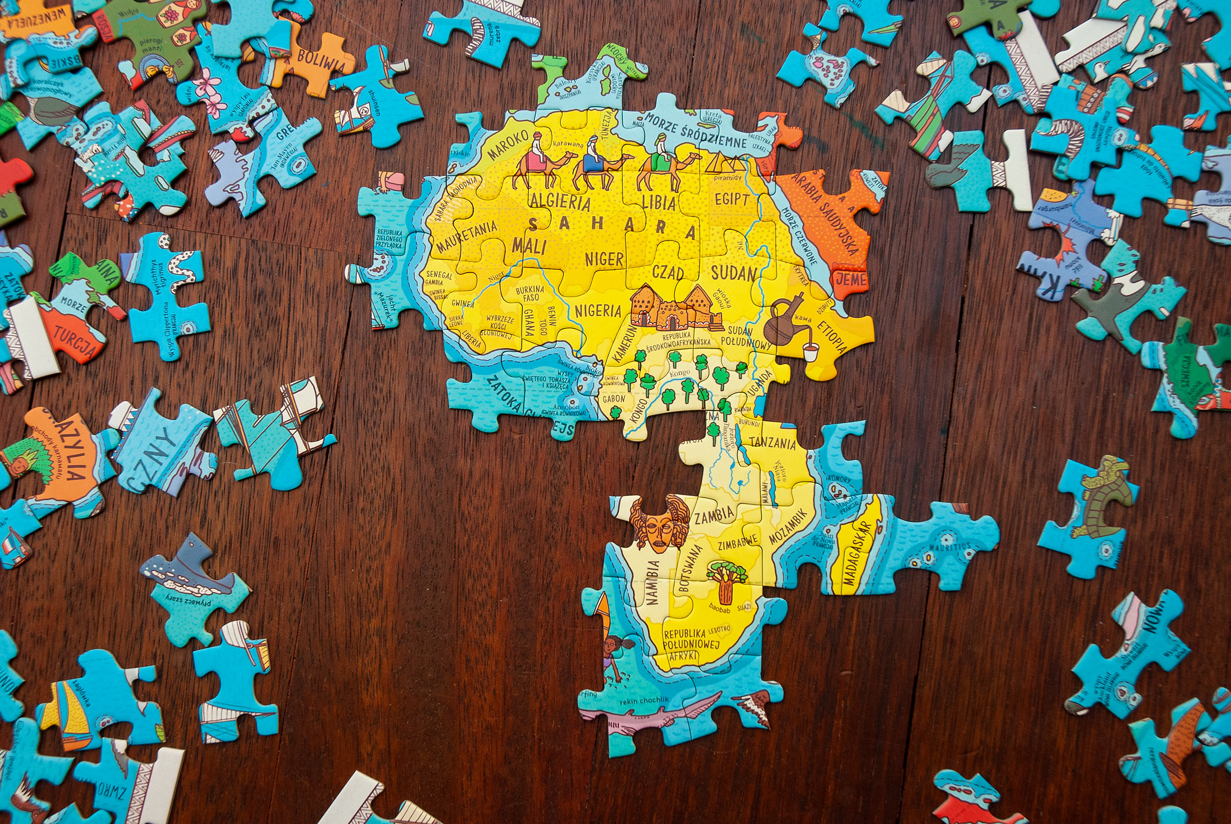
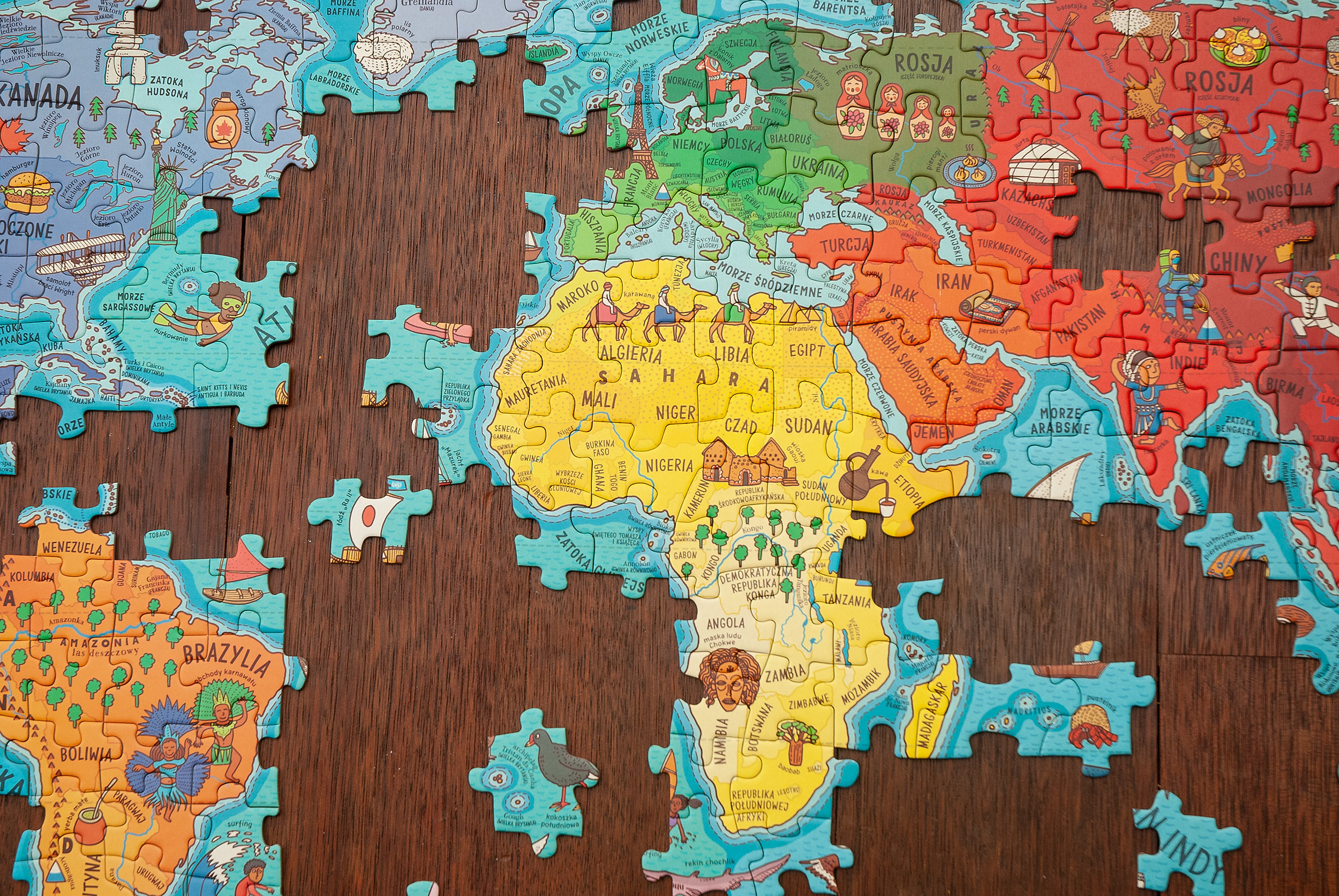
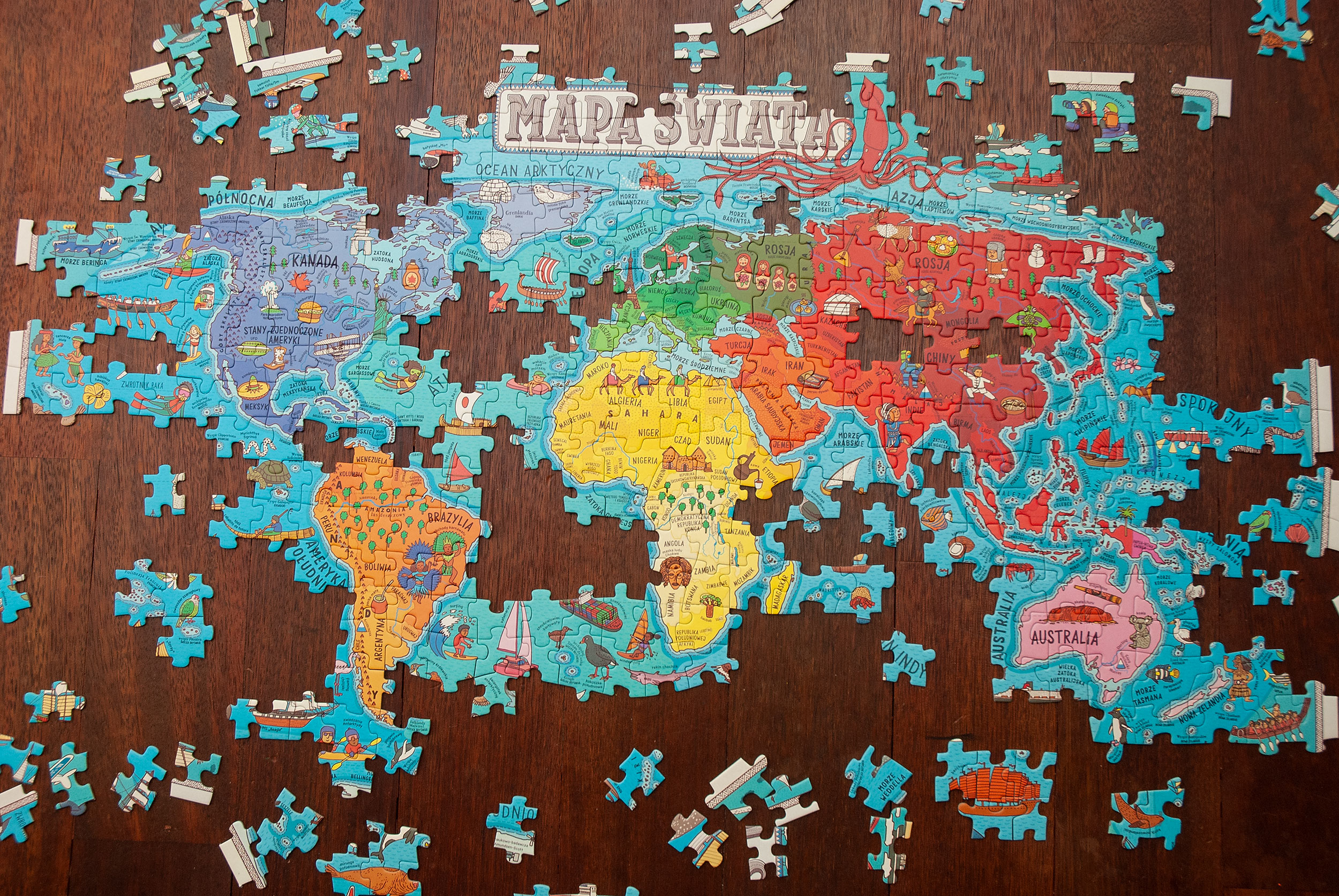
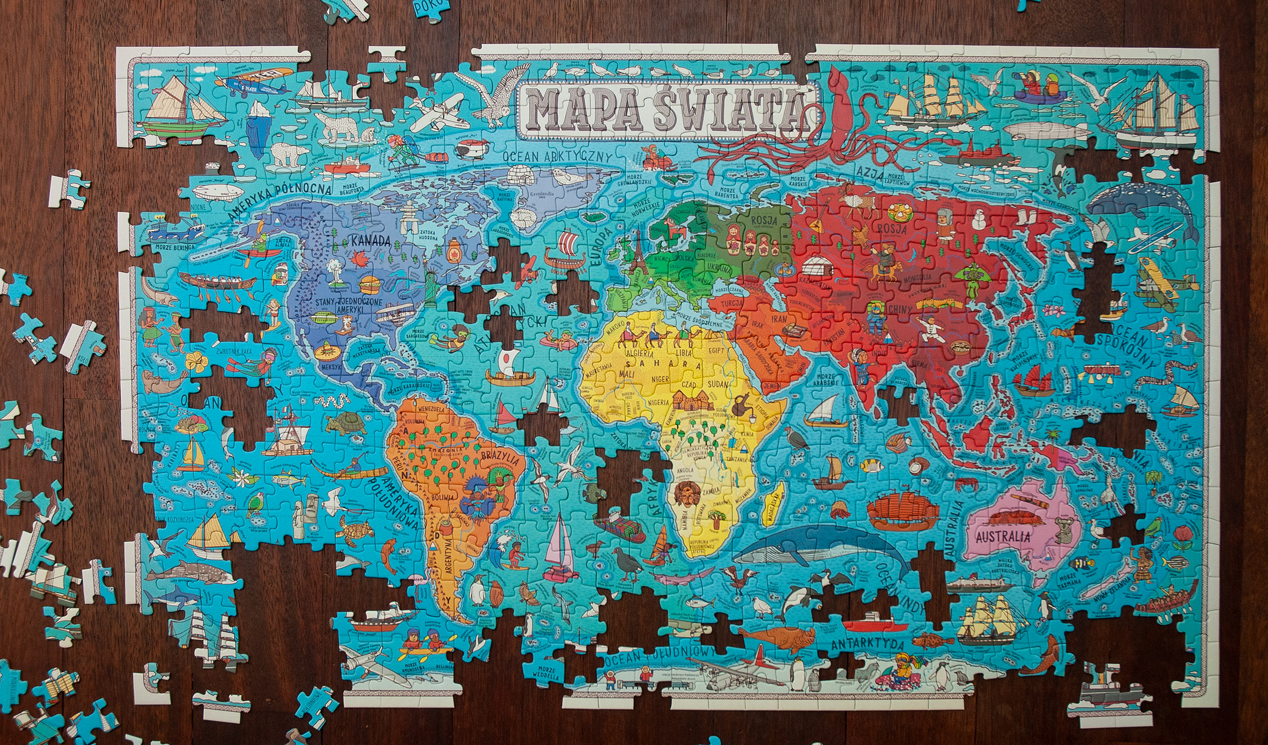
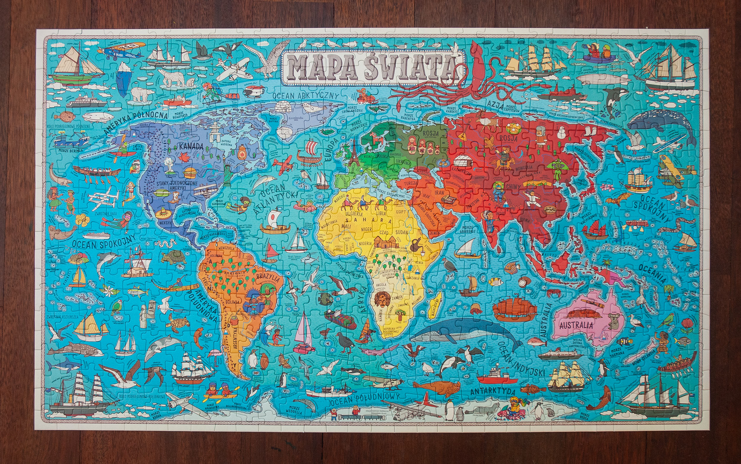
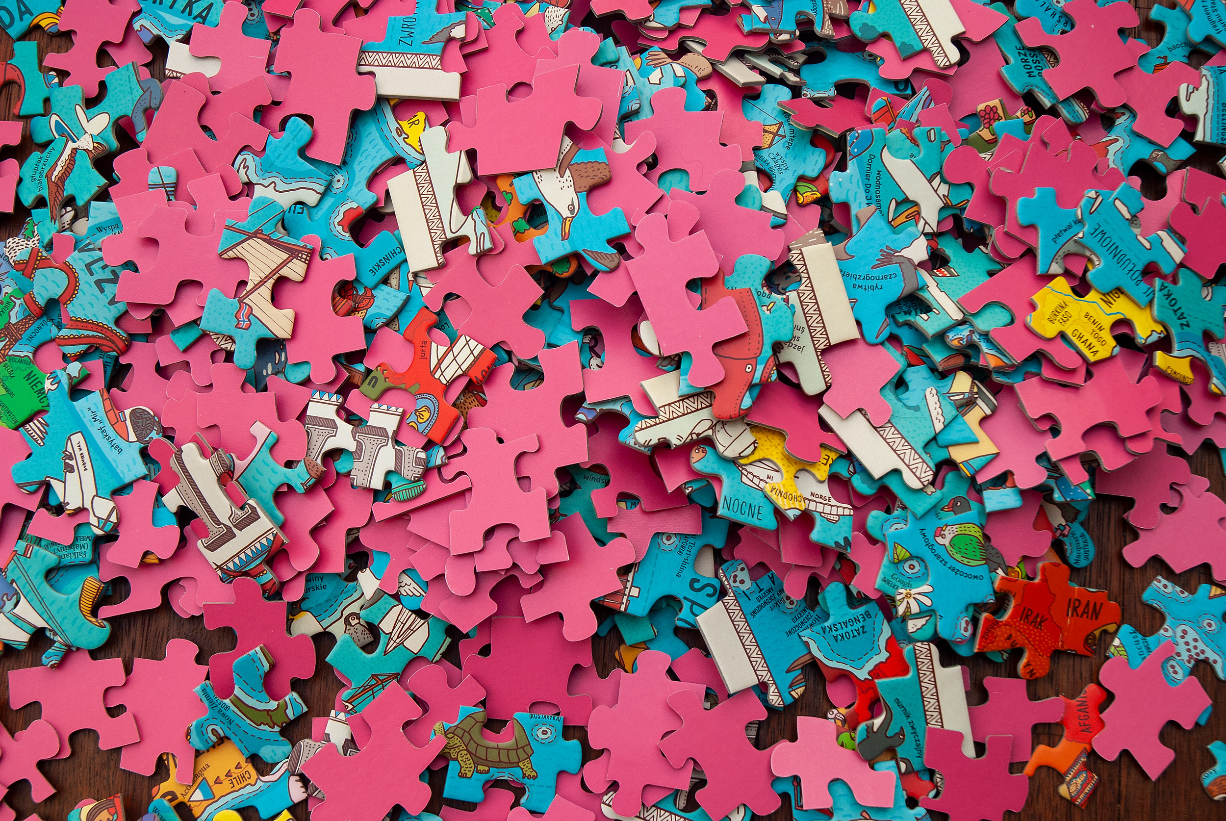
We chose the third option. This allowed us to fit all the small ad big captions around the map without losing readability. The cuts go between words or between letters in middle-sized texts. With bigger letters we could precisely design how to cut them to keep the readability on the single puzzle piece.
To make solving the puzzle nice and pleasant even for young beginners, we colour-coded continents and oceans. It also helps to know that polar bears live only on the north hemisphere, that Kon-Tiki expedition was a journey across the Pacific Ocean and that haka dance is a ceremonial dance of the Māori of New Zealand.
Production:
Producing the first run was a long process filled with frustration. We’re lucky that all of the online communication was handled by our publisher, Wydawnictwo Dwie Siostry, but it didn’t lessen our annoyance.
All of the prototypes, sent to us by two different printing houses, had a lot of issues. The publisher had chosen one of the producers, and during a period of over a year we’ve been going through multiple dummies and have been trying to dot all the i's and cross all the t's.


